Choose where it runs
Operate locally, in your preferred data centre or in your own cloud. A local setup can support operation without an external cloud connection.
 Contact
ENDE
Intelligent forest protection
Forest protection starts with the first signals. PREFIRE connects gas and particle sensors, airflow modelling and automated drones to help emergency teams locate and assess potential fires.
Discuss PREFIREExplore the system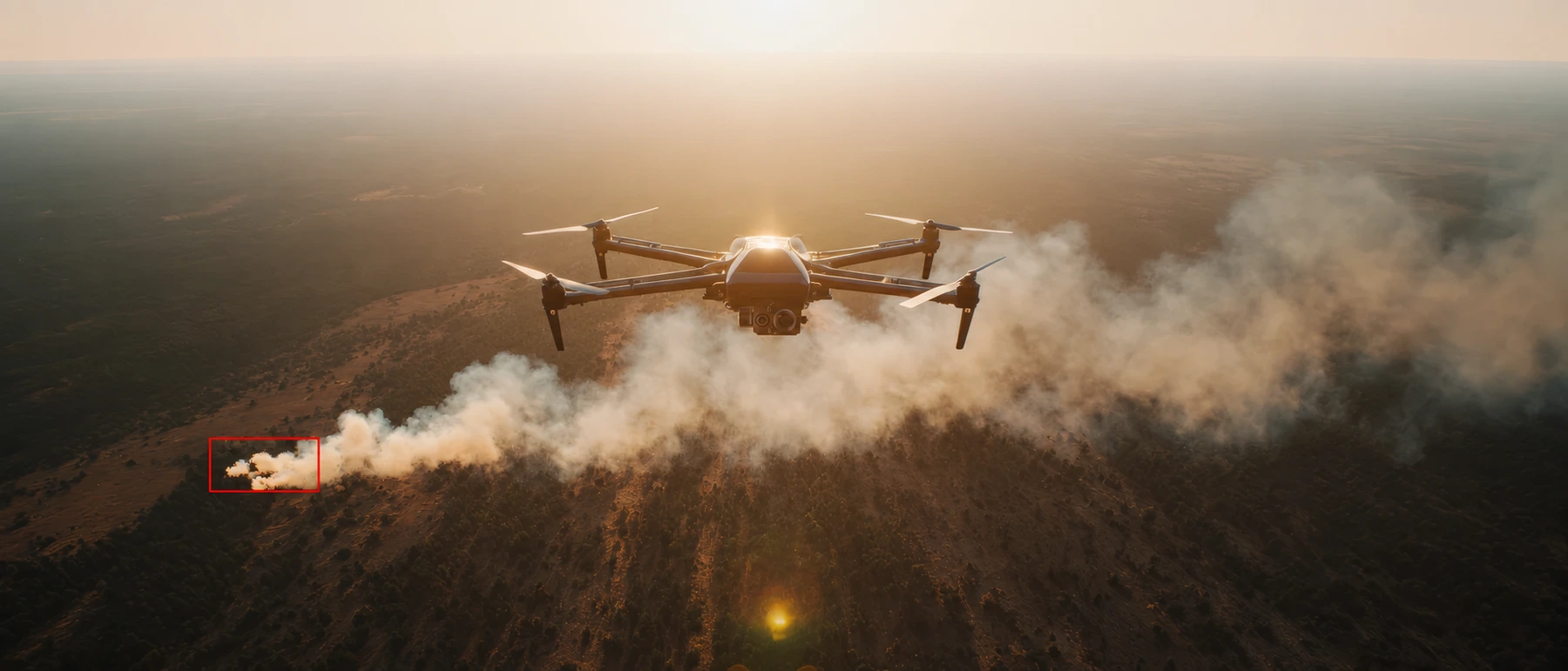
Two connected components: sensors on the ground and drones ready to investigate from a nearby dock.
Fixed and mobile sensors monitor combustion-related gas and particle signals in the forest.
Sensor readings and simulated wind fields help narrow down the likely source.
A sensor-triggered mission or a scheduled patrol provides RGB and thermal images for verification.
Live views, recorded evidence and alerts support the incident team’s assessment.
Observe changes where they begin. Combine permanent monitoring with mobile sensors for critical areas and post-fire ember monitoring.
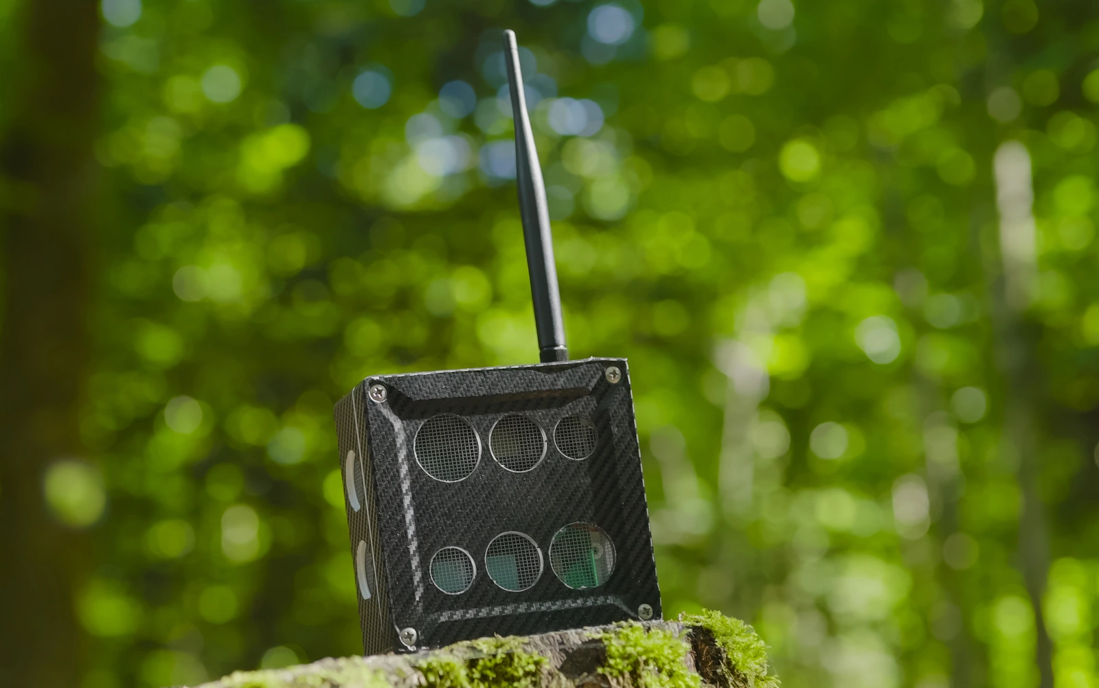
The sensor concept combines gas signatures, including volatile organic compounds (VOCs), with fine-particle monitoring to recognise changes associated with combustion.
Sensor lances can be placed around critical areas and used to monitor residual embers after a fire has been extinguished.
Low-power wireless communication connects distributed sensors with the monitoring system, including in remote forest areas.
Solar power and battery storage support independent field operation. Sensor placement and power supply are planned around the terrain and operating conditions.
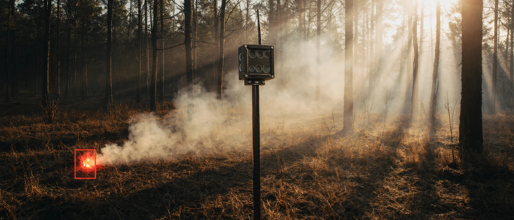
A sensor detects what reaches it. Airflow modelling helps trace those signals back to their possible source.
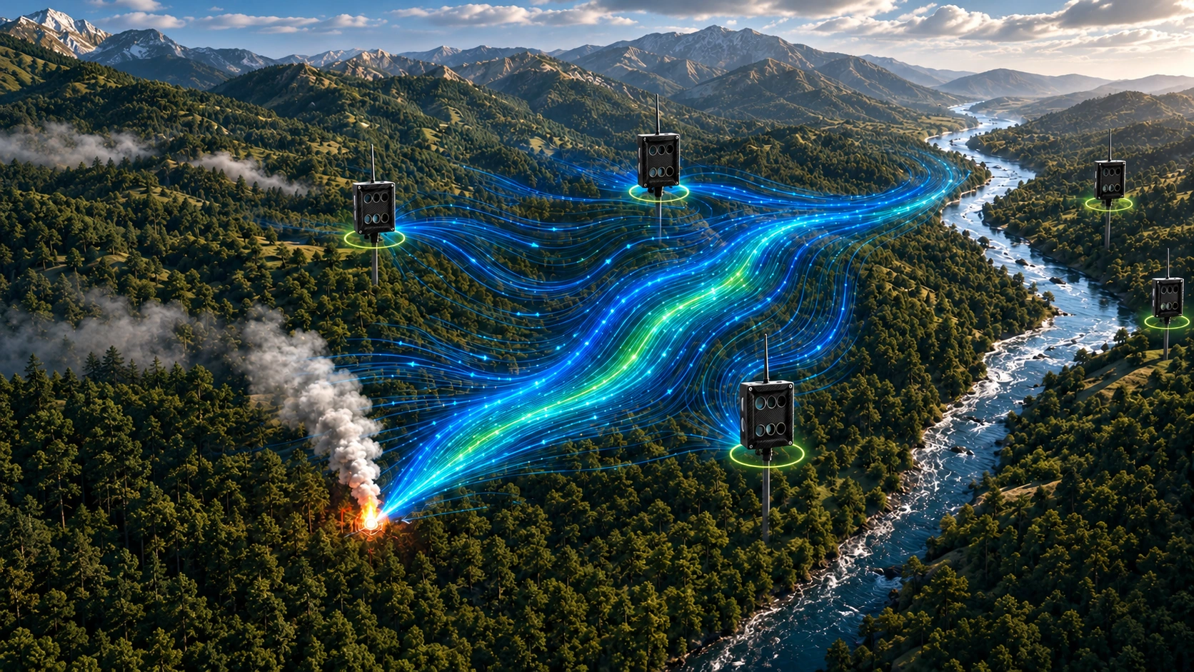
Make the terrain part of the system.
Computational fluid dynamics (CFD) models wind through the landscape. Combining these wind fields with sensor readings supports inverse dispersion analysis: tracing a measured signal towards its likely source.
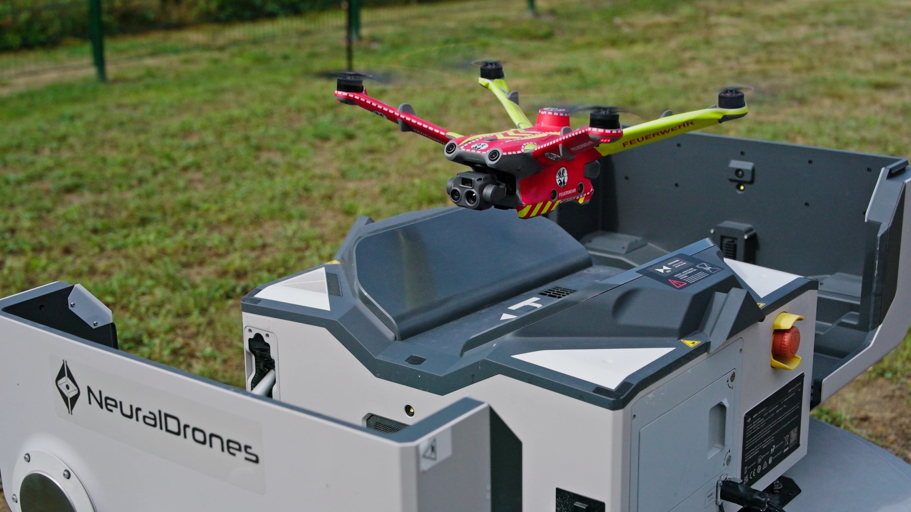
Ready to investigate from the dock.
Docked drones can start a sensor-triggered mission or fly predefined observation routes. Adaptive analysis evaluates the surroundings during the flight and helps find a useful viewpoint over the indicated area.
Visual and thermal images help assess smoke, flames and unusual temperature patterns together.
The mission can adjust its path and viewpoint as new image information becomes available.
Live imagery, archived recordings and alerts bring the findings to the control centre.
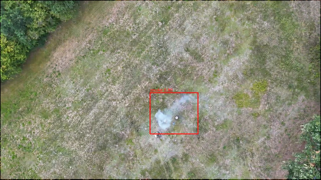
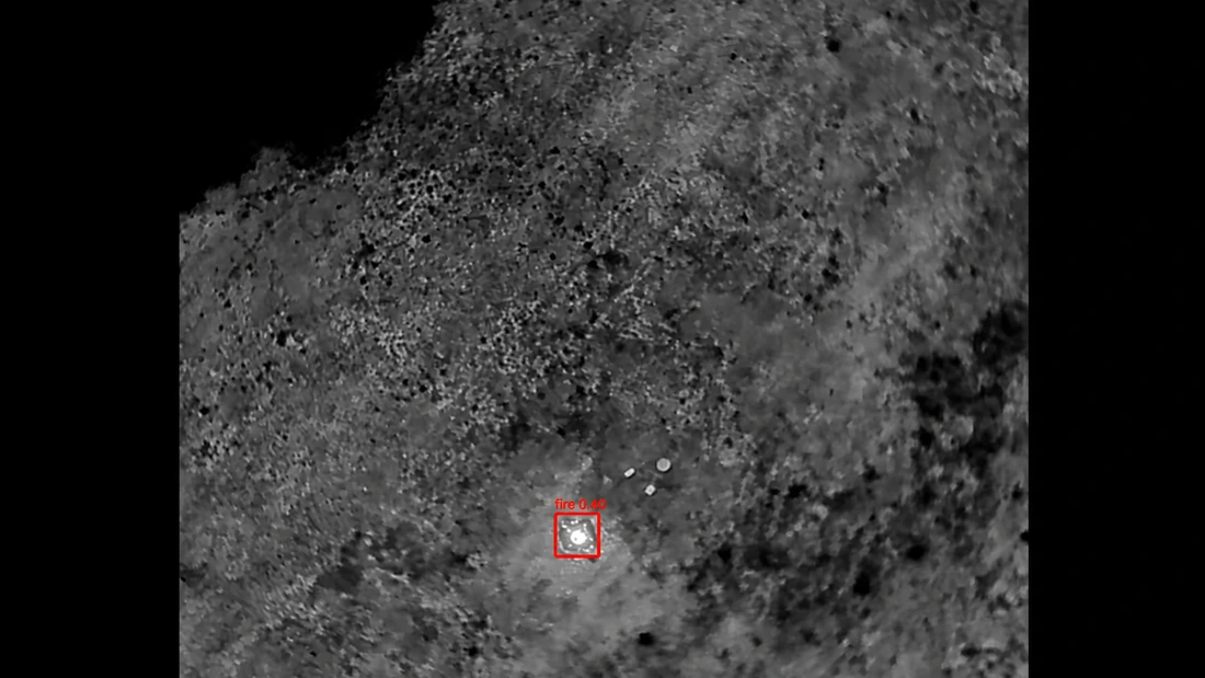
These individual detection examples show the model output for each image.
Mission planning takes account of the terrain, weather, communications and the applicable operating approvals.
Integrate sensor readings and aerial reconnaissance into your team’s existing workflows. flightprivacy+ connects drone operations, live views and incident workflows.
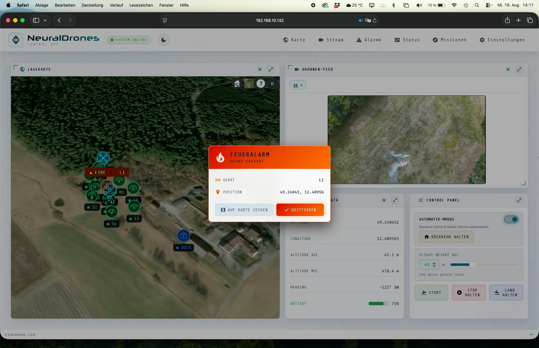
Operate locally, in your preferred data centre or in your own cloud. A local setup can support operation without an external cloud connection.
Integrate imagery and alerts with incident management systems and agreed notification channels. Review routes already flown and coordinate multiple drones.
Optional local 4G/5G infrastructure and relay concepts can support communications. Configuration, training and operational preparation are defined for the deployment.
START WITH YOUR FOREST
Tell us about your terrain, access, communications and existing response processes. Together, we can define sensor placement, drone coverage and the operational workflow.
Discuss PREFIREPlan the next step with Neural Drones